
Long before maps or GPS, people used the sky to find their way. The Sun, Moon, stars, and planets helped travellers move across land and sea. Many cultures watched the skies closely. They learned how to use star patterns, shadows, and sunrise points to tell direction. They passed this knowledge through stories, songs, and hands-on teaching.
In this section, we explore how different groups used astronomy to travel. From Aboriginal songlines in Australia to Polynesian star paths across oceans, these sky skills show the power of human observation and memory. Sky-based navigation is still used in some parts of the world today. It also helps us understand ancient journeys and the science behind them.
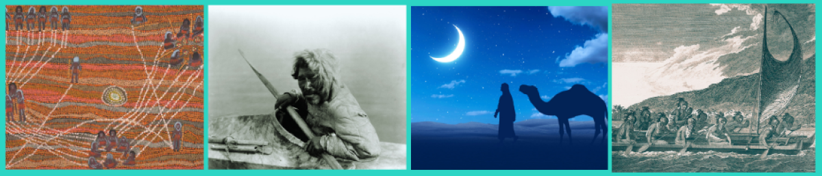
- Aboriginal Songlines (Australia)
For thousands of years, Aboriginal peoples in Australia have used songlines to travel across the land. Songlines are paths across the land that are remembered through songs, stories, and dances.
Each songline follows the journey of a creation ancestor. These ancestors are part of the Dreaming, a deep belief system about how the world was made.
As a person sings a songline, they are following the steps of that ancestor. The song includes details about the land, such as rivers, rocks, trees, and waterholes. It also points to sky features, like stars or the path of the Sun, that help with direction.
Songlines act like maps. They guide people through deserts, forests, and coastlines. They help with finding food, water, and shelter. They also connect people to their culture and spiritual world.
Even today, many Aboriginal people learn and share songlines. They are a living link between land, sky, story, and identity.
- Anwaʾ – Arab Star Navigation
Before modern tools, Arab travellers used the stars to guide them across deserts and seas. This system of navigation is known as Anwaʾ. The word comes from Arabic and means the setting or rising of a star.
The Bedouin people, who lived in the Arabian deserts, were experts in star knowledge. They watched the sky carefully and linked the appearance of certain stars with seasons, rain, and winds. This helped them know when to move their herds or prepare for travel.
Each group of stars had a name and meaning. Some were used to find direction at night. Others marked the time of year or signalled changes in weather. This star calendar helped with both daily life and long journeys.
Anwaʾ was more than science. It was also part of poetry, stories, and oral tradition. Poets used star names in their verses, and children learned the stars from elders.
Today, Anwaʾ reminds us how people once used the sky as a living map. It shows how culture and astronomy can work together to support survival and identity.
- Inuit Navigation by the Stars and Ice
The Inuit peoples live in the Arctic, where snow and ice cover the land for much of the year. For generations, they have used the sky and the land to guide their way.
In the long winters, the stars helped Inuit hunters and travellers find safe paths. They knew how to follow star patterns to move across frozen lakes and wide plains. Some families passed down star maps by telling stories. These stories helped people learn when and where to travel. The Moon was also a useful guide. Its light made it easier to travel in the dark, and its shape helped mark time.
But it wasn’t just the sky. Inuit people also read the ice, wind, snow, and waves. They could tell where they were by the shape of snowdrifts, cracks in the ice, and the feel of the wind. This deep knowledge came from watching nature closely, every day.
Inuit navigation is a mix of astronomy and environmental skill. It shows how people can learn to live and travel safely in extreme places without maps or compasses. It also teaches us to see the land and sky as connected, not separate.
- Polynesian Celestial Navigation
For thousands of years, Polynesian sailors crossed vast oceans without maps or modern tools. They used the stars, Sun, Moon, waves, clouds, and wildlife to guide their journeys. This skill is known as wayfinding.
Polynesian navigators learned to read the night sky like a map. They memorised the paths that stars took across the sky. Each rising and setting point marked a direction. By watching the stars, they knew where they were and which way to sail. They also used the Sun’s position during the day. The height of the Sun told them how far they were from the equator.
The ocean gave more clues. Skilled sailors could read the shape and direction of waves. Reflected swells showed where islands might be. Clouds over land, the flight paths of birds, and the colour of the sea also helped them find their way. This knowledge was passed down through stories, songs, and hands-on training. It took years to become a master navigator.
Today, some Polynesian groups are bringing these skills back to life. Canoes like Hōkūleʻa sail using only traditional methods, sharing the wisdom of their ancestors. Polynesian navigation shows how deep observation and memory can guide people across even the biggest oceans.